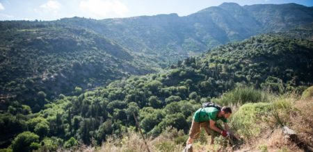
Pathways: Hiking Ikaria’s mountains with our map.
Download the map here
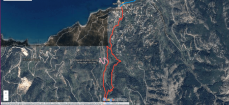
Download the map here
Duration 20′ Distance: 0.5 miles Minimum Elevation: -1 feet Maximum Elevation: 77 feet Total climb: 36 feet Total descent: 114 feet Be sure not to be…
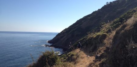
In the past, Ikarians used the paths to communicate and keep in touch. The path is the soul of Ikaria which we want to keep alive….
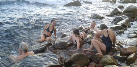
Ikaria’s laid back lifestyle is a welcome change from the daily hustle and bustle I experienced during my last two months backpacking through South East Asia….
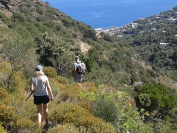
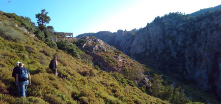
Length: 4 km, approx. 45 minutes. https://drive.google.com/open?id=1_dnA5CJ1VzQXBw747pa3A8aO7X8&usp=sharing This route starts from the beautiful church in the peaceful village of Arethousa. On your tour to the beach…
Arethousa is a picturesque village in the north of Ikaria, a short taxi ride from Evdilos. In the hills tucked away from tourists, it is the…
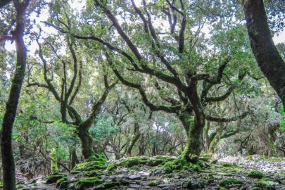
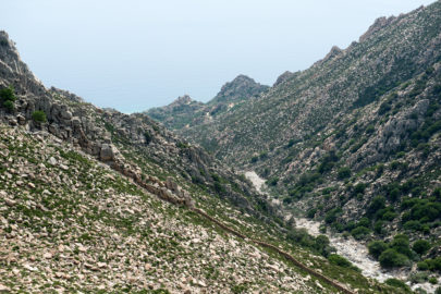
Ikaria’s wide range of geographical features favours climatic and telluric variation. From lush forests to rocky mountains to dense wetlands, Ikaria hosts a wide variety of flora and fauna. With…
Project Pathways is an initiative of the Ikarian Centre to promote sustainable eco-tourism on the Greek island Ikaria.